Partners and Programs:
  • BARS
  • GSIP
  • SKYbrary
  • ASN
  • Contact Us
  • Members' Center
  • Login
  • Support Aviation Safety

  • Industry Updates
  • The Foundation
    • About the Foundation
    • Mission
    • History
    • Work with Us
    • Leadership
    • Officers, Staff and Volunteers
    • Media/Communications
    • Aviation Awards
    • Join Us
  • Events
  • AeroSafety World
  • Toolkits & Resources
    • COVID-19 Crisis Resources
    • Fatigue Management
    • Flight Path Monitoring
    • Go-Around Project
    • GSIP Toolkits
    • Past Safety Initiatives
    • Pilot Training and Competency
    • Podcasts
    • Special Reports
    • Unreliable Airspeed
  • Contact Us
  • Members' Center
  • Login
  • Support Aviation Safety
Partners and Programs:
  • BARS
  • GSIP
  • SKYbrary
  • ASN

FLIGHT SAFETY FOUNDATION HEADQUARTERS

701 N. Fairfax Street, Suite 250,
Alexandria, Virginia 22314

Phone: +1 703 739 6700 Fax: +1 703 739 6708

  • Front Page
  • Industry Updates
  • U.K. Expands Drone Restriction Zones

Unmanned Aircraft Systems, Airport Ops, Safety Regulation

U.K. Expands Drone Restriction Zones

by FSF Editorial Staff | March 15, 2019

flying drone

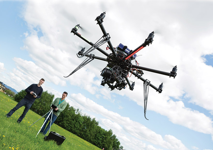
Drone flight restriction zones have been expanded around airports in the U.K. under a new rule that took effect March 13.

Under the DroneSafe program, operated by the U.K. Civil Aviation Authority (CAA) and air traffic management organization U.K. NATS, the previous ban on drone flights within 1 km (0.5 nm) of an airport boundary has been replaced by “a restriction using the airfield’s existing aerodrome traffic zone,” with a radius of either 2 nm (4 km) or 2.5 nm (5 km), “and then five km [2.7 nm] by one km zones starting from the point known as the ‘threshold’ at the end of each of the airfield’s runways,” the CAA and NATS said. Both zones extend to 2,000 ft above the airfield.

“It is illegal to fly any drone at any time within these restricted zones unless you have permission from air traffic control at the airport or, if air traffic control is not operational, from the airport itself,” the agencies said. Maps of each airport’s restriction zone are available at the NATS Aeronautical Information Service website.

Establishment of the restriction zones comes not quite three months after London’s Gatwick Airport was closed for 33 hours because of repeated sightings of drones over the airfield. Authorities estimated that at least 120,000 passengers were affected, and described the flights as part of a “deliberate and serious” attempt to disrupt traffic at the U.K.’s second-busiest airport. The operator of the drone has not been found.

A similar problem was reported around the same time at London Heathrow Airport, but flights there were halted only briefly.

Share:

Print:

Key Safety Issues

  • Controlled Flight Into Terrain (CFIT)
  • Loss of Control–In Flight (LOC-I)
  • Mechanical Issues
  • Runway Safety (approach and landing)
  • Sabotage/Intentional Acts
  • Midair Collisions (MAC)
  • Runway Safety (Conflicts)
  • Wildlife Issues
  • Fatigue
  • Cabin Safety
  • Emerging Safety Issues
    • Lithium Batteries
    • Safety Information Sharing and Protection
    • Unmanned Aircraft Systems

Related Content

Unmanned Aircraft Systems, News

FAA Publishes Airworthiness Criteria for 10 Drone Models

The agency’s move is intended to expand the role of drones in package delivery.

by FSF Editorial Staff

Unmanned Aircraft Systems, 2020 FSF Press Releases

FSF, International Relief Organizations Partner to Accelerate Drone Use in Humanitarian Missions

BRUSSELS — Flight Safety Foundation announced a collaborative initiative to work with several leading international…

by FSF Communications Staff

Unmanned Aircraft Systems, 2020 FSF Press Releases

Foundation Launches International Safety Committee on Autonomous and Remotely Piloted Aviation Systems

New advisory committee will be an industry-government collaborative effort.

by FSF Communications Staff

Read more articles

701 N. Fairfax Street, Suite 250, Alexandria, Virginia 22314

Phone: +1 703 739 6700 Fax: +1 703 739 6708

Flight Safety Foundation on Twitter

Safety Forum is virtual this year and the agenda is packed with great topics and global industry leaders. View the… https://t.co/jGXr88qo8u

January 21, 2021

Follow @flightsafety

Projects & Partners

  • Basic Aviation Risk Standard
  • Global Safety Information Project
  • SKYbrary
  • Aviation Safety Network
  • Donate
  • Advertise on our website
  • Sponsor & Exhibit at our Events
  • Work with Us
  • Contact Us
  • Site Map
  • Privacy

© 2021 Flight Safety Foundation

Join our group on LinkedIn