Prior to takeoff, pilots are fully briefed on the weather conditions that are expected en route and at the destination. However, once airborne, there sometimes is a critical need to inform pilots of potentially hazardous weather that may not have been forecast or that needs to be emphasized. These weather situations can either cause physical damage to an aircraft, cause loss of control of the aircraft, or decrease visibility to a point where lower-level flying becomes dangerous. For these situations, in-flight aviation weather advisories (IAWAs) are used for both current situations and forecast conditions.
IWAS are among the few weather products designed for pilots making real-time decisions, says Scott Minnick, lead aviation meteorologist for the U.S. National Oceanic and Atmospheric Administration’s National Weather Service (NWS) Aviation Weather Center (AWC).
These in-flight advisories “communicate complex atmospheric data into actionable information, highlighting hazards that directly affect aircraft safety, routing, and performance,” Minnick says. “These advisories help pilots stay ahead of weather and reduce exposure to high-impact aviation hazards, including convection, icing, turbulence, and blowing dust.”
There are four types of IWAS: SIGMETs, convective SIGMETs, G-AIRMETs, and center weather advisories.
SIGMETs (the acronym stands for significant meteorological information) are issued when weather conditions present a serious threat to the safety of aircraft and passengers. “These areas should be avoided,” says Minnick. Specifically, a SIGMET is issued for all aircraft in the following situations: severe or extreme turbulence, which can cause loss of control or structural damage; severe icing that can overwhelm deicing or anti-icing equipment; dust or sandstorms that reduce visibility to less than 3 mi (5 km); and volcanic ash that can impair or disable engines. SIGMETs are issued for four-hour periods (or six hours for conditions related to tropical cyclones) and can be updated or reissued, if needed. Although the area encompassed by a SIGMET may be large, only a small portion of the area may be affected at any given time.
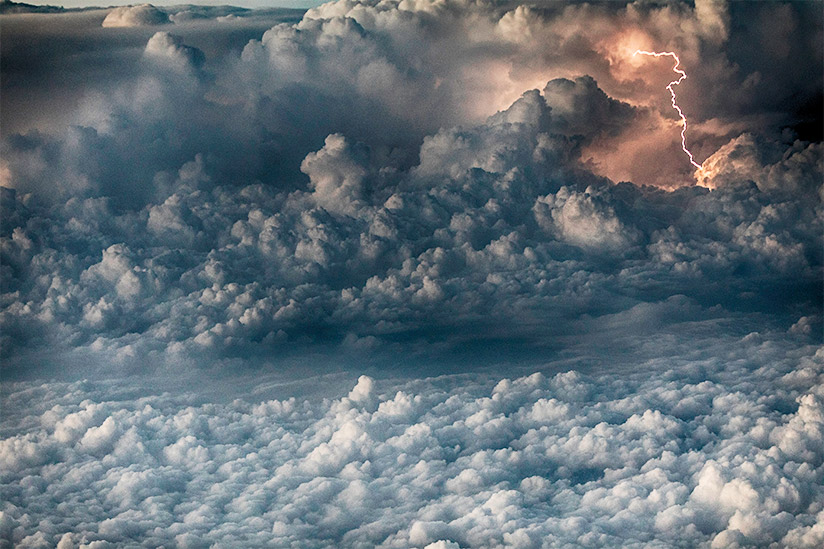
A convective SIGMET is issued hourly (at five minutes before the hour) for hazardous weather conditions specifically associated with existing or forecast thunderstorms. The conditions include a line of thunderstorms (squall line) at least 60 mi (97 km) long with thunderstorms along at least 40 percent of its length; an area of thunderstorms with at least 40 percent of the area producing heavy precipitation and lightning, as indicated by radar or satellite; or embedded or severe thunderstorms expected to occur for more than 30 minutes. Special issuance criteria include hail greater than 0.75 in (2 cm) in diameter, wind gusts of 50 kt or more, or a tornado. Inherent in a convective SIGMET is the possibility of severe or extreme turbulence, severe icing, and low-level (below 2,000 ft) wind shear. The text will consist of an observation and forecast or just a forecast, which can be valid for up to two hours. Convective SIGMETs apply to all categories of aircraft. In Alaska and over oceanic regions, these same situations are covered by standard SIGMETs.
A G-AIRMET (a term that stands for graphical airmen’s meteorological information and that replaced the term AIRMET in 2025) is similar to a SIGMET but implies conditions that, while not as severe, are still potentially dangerous. G-AIRMETs are issued “when forecasters expect at least moderate conditions that could affect the aircraft’s ability to maintain control,” Minnick says. In particular, they are issued to provide information about moderate turbulence, low-level wind shear, strong surface winds over 30 kt, moderate icing, and freezing levels. They are also issued for mountain obscuration or instrument meteorological conditions with ceilings of less than 1,000 ft or surface visibility of less than 3 mi. (They are not issued for airspace above bodies of water.) Although they are issued for all pilots, AIRMETs are especially relevant to visual flight rules pilots or those flying more weather-sensitive aircraft.
How are these advisories developed?
Three types of advisories (all except for center weather advisories), are produced at the AWC in Kansas City, Missouri, part of NOAA’s National Centers for Environmental Prediction. Here, a group of NWS meteorologists specially trained in aviation weather (national aviation meteorologists or NAMs) staff the AWC 24 hours a day, seven days a week. There are specialized “desks” for the various hazards such as turbulence, icing, ceiling and visibility, and convection. Additionally, the AWC is one of two global world area forecast centers designated by the International Civil Aviation Organization (ICAO).
“In-flight advisories are produced using a combination of real-time observations, remote sensing, numerical weather prediction, and expert meteorological analysis,” Minnick says. “Forecasters constantly monitor radar, satellite imagery, pilot reports (PIREPs), METARs, lightning data, and forecast models.”
“Once a forecaster determines the need for an in-flight advisory,” Minnick says, “we use specialized software to draw polygons around areas of concern. For turbulence and icing, forecasters assign a flight layer (top and bottom altitudes) where moderate conditions are expected. For ceiling and visibility, polygons are drawn around areas where the forecaster expects IMC … based on both ceiling and visibility. The forecaster also assigns a cause for the IMC, such as fog, mist, haze, smoke, or blowing snow. Each forecast cycle … includes a 12-hour forecast composed of three-hourly snapshots, with up to five forecasts per hazard element. While preparing the next forecast, forecasters maintain a continuous meteorological watch on observational data, including PIREPs, to amend advisories as conditions evolve.”
Center weather advisories (CWAs) are produced by Center Weather Service Units (CWSUs), which are collocated with the 21 air route traffic control centers (ARTCCs). These advisories are unscheduled advisories for conditions meeting or approaching national in-flight advisory criteria And are primarily used by air crews to avoid adverse weather conditions in the en route and terminal environments. A CWA is not a flight planning product but a nowcast to describe conditions that will exist within the next two hours. CWAs can be issued to supplement existing IAWAs, when conditions are expected to meet IAWA criteria but one has not been issued yet, or when conditions do not meet IAWA criteria but are deemed hazardous based on PIREPs or other data sources. CWAs are valid for up to 2 hours.
How are IAWAs sent out?
Kyle Struckmann, meteorologist in charge, National Aviation Meteorologists, says, his organization briefs the FAA Command Center about “the turbulence and icing SIGMETs that are issued by the Aviation Weather Center. This helps them to identify areas where these hazards are occurring or may occur. Their AIRMETs for various aviation hazards are also used by the FAA Command Center.”
The latest IAWAs are on the AWC website.
In addition, AWC products and services are available in several file formats for third parties to plot via AWC’s Data API.
AWC also issues advisories for portions of the Gulf of Mexico and the Atlantic and Pacific Oceans. Offices in Hawaii and Alaska perform similar functions for those jurisdictions. Outside the United States, SIGMETs are issued by local meteorological watch offices (MWO) and follow an international coding standard.
Image: © lsannes | iStockphoto
Edward Brotak, Ph.D., retired in 2007 after 25 years as a professor and program director in the Department of Atmospheric Sciences at the University of North Carolina, Asheville.